This is the 22nd station I have visited on the Jubilee line. The station opened in 1880 as part of the Metropolitan railway with the name Kingsbury and Neasden. It changed to the current name of Neasden in 1932. A few years later in 1939 it was transferred to the Bakerloo Line and Metropolitan Line trains stopped calling at the station. It was 1979 that the service was transferred to the Jubilee Line.
Neasden is one of the few stations on this section of the old Metropolitan Railway to still have its original platform buildings
I exited the train onto the island platform with its back to back seating.
The sign on the toilets is not a welcoming first greeting to the area. Having never been here before it hardly fills me with exciting anticipation of what I might find.
Until the late 1990s there were no barriers as you exited the station. Now there are the usual automated ticket collection barriers with a small shop inside the station.
The station's surface building has been changed over the years. The original roof and high chimneys were removed in the 1990s. A section of the front was also rebuilt when a newsagent shop was removed.
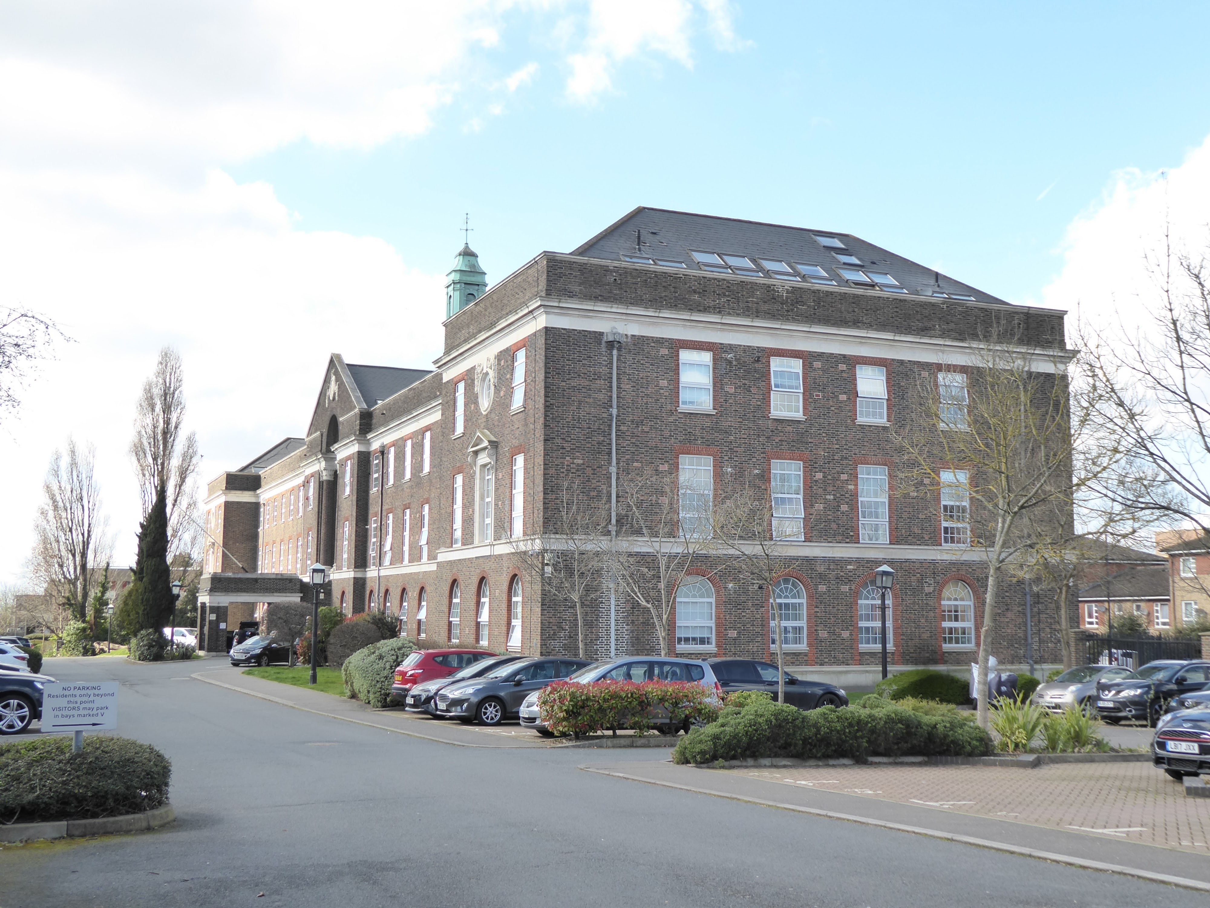
Not an inspiring view as you leave the station. Across the road is a large retail park but that was about all. I am now out in the suburbs so finding places of interest is much more difficult. I decided to follow signs to the town centre.
Before getting there I had to negotiate the North Circular Road. Opened in 1922 this road is a main arterial route round London. Traffic on the North Circular and Neasden Lane became an increasing problem in the post war years. Despite much local opposition the Ministry of Transport enlarged the North Circular and diverted traffic on Neasden Lane to an underpass. The project which involved the demolition of numerous houses was completed in 1973. Although it solved some of the traffic problems it effectively cut Neasden in two. Pedestrian access to Neasden shopping centre which was already isolated because of the North Circular Road was further separated by the construction of the Underpass.
I chose to walk over the bridge rather than go through the subway. The traffic wasn't that bad at all this morning but I still wasn't going to be foolish enough to attempt to cross over the road and onto the roundabout.
In the middle of the roundabout is the Grange nature reserve as well as the building known as the Grange which was saved from demolition when the Underpass was built.
The nature reserve has been created to show how wildlife may be attracted to urban areas. A hedge of native plants including Hawthorn, Dog Rose and Field Maple has been planted around the perimeter of the roundabout to provide a screen.
Although it was early spring when I visited I didn't see much sign of wildlife but I'm sure that was a fault on my part not the nature area.
The Grange is a Grade II listed building and is the last one of a group of large houses and farms that once made up Neasden Green. The Grange was originally an outbuilding of an early 18th century farm converted into a cottage in the 19th century. In 1962 it was purchased by the then Willesden Borough Council. The house was threatened with demolition when the Neasden Underpass scheme was proposed in 1964. It now sits in the middle of a roundabout. From 1993 to 2004 the site was used as Brent's local community history museum, which had an old well from the original farm in the rear garden and a nature reserve to the front. In 2006 The Grange was purchased by a company that provides space and training to local charitable organisations.

From the roundabout I could see St Catherine's church with a brightly coloured awning next to it. I was curious to see what it was advertising. However there was no way I could cross the road as there was no break long enough in the traffic to even make an attempt. I had to wait ages to just take a photo which I could enlarge to discover it was 'Jerk Chicken' that was being advertised!
As I was now on the other side of the roundabout from the bridge I thought I might be able to get across somehow to the shops but it was impossible.
The only way to get to the town centre was to retrace my steps back over the bridge. I doubt many people actually come across to the roundabout to look at the nature reserve.
From the bridge you can see the white arch of Wembley Stadium in the distance which is the next station for me to visit on the Jubilee Line.
There were more shops here than I expected. Prior to the building of the underpass in the early 70s more traffic went through here and more people used Neasden shopping centre. The building of a Tesco superstore at Brent Park in 1982 and an out of town shopping centre at Brent Cross has also had a detrimental effect on the town's shopping precinct.
I have noticed a number of buildings on High Streets now being used as churches. This one is a new one on me. The Believers' Loveworld also known as Christ Embassy. A relatively new Christian organisation dating back to 1987, it was founded in Nigeria. It apparently has millions of followers all over the world.
This supermarket was once home to Dicey Reilly's nightclub and bar for over thirty years. A popular venue for the local Irish community. However, after a spate of violent events in 2010 the police would not renew its license.
From the town centre I decided to follow signs to the Neasden Temple. I had seen it before when I visited Stonebridge Park underground station on the Bakerloo Line. This time I wanted to have a look inside although no photography is allowed. I should have done my research before coming as it closes between 1200 - 1600 hrs. Needless to say it was just after noon by the time I got there.
The signs took me alongside the North Circular which wasn't very pleasant.
Much better to be away from the road traffic pollution and walk through the residential streets with their terraced housing.
Turn a corner and here you are looking at the most eye catching piece of architecture, the BAPS Shri Swaminarayam
Mandir. It is the first traditional Hindu temple to be built in Europe and the largest outside India. The marble was carved in India and then shipped to the UK where the 26,300 pieces were assembled. It opened in 1995.

Although the temple was closed to the public the security guard let me through the gates to take some closer photos from the outside.
The intricate marble carvings were amazing.
Although Neasden didn't have many local attractions, one look at this building made the visit worthwhile so one day I will return and have a look inside the temple.
 This is the 22nd station I have visited on the Jubilee line. The station opened in 1880 as part of the Metropolitan railway with the name Kingsbury and Neasden. It changed to the current name of Neasden in 1932. A few years later in 1939 it was transferred to the Bakerloo Line and Metropolitan Line trains stopped calling at the station. It was 1979 that the service was transferred to the Jubilee Line.