This is the 31st station I have visited on the Metropolitan Line which takes you North West of London into the home counties of Buckinghamshire and Hertfordshire. The station was opened in 1889 and is served by the Metropolitan Line and Chiltern Railways. It is about 20 miles from Central London. I am so fortunate to be able to travel to all these stations for free as people living out here are not entitled to the same privileges. Being over a certain age and living in one of the London Boroughs I am entitled to a 'Freedom Pass'. This entitles me to free Travel on buses, tubes, local trains,trams, Docklands Light Railway and the new Elizabeth Line which goes out as far as Reading (42 miles from London). Without my Freedom Pass I would never have undertaken this Undergound challenge of visiting every one of the 272 stations.

At the end of platform 1 is a disused signal box which ceased service in the 1960s. It was proposed by the local residents association that the Grade II listed signal box be turned into a museum. Due to various costs and legal fees this no longer seems to be a viable proposition.


There was no sign on any of the walls of the Labyrinyth print as I left the station. Mark Wallinger created a different labyrinth print for each underground station to celebrate the 150th anniversary of the tube in 2013 so it had to be here somewhere.

On leaving the station I immediately felt I was in a rural area. I followed some steps opposite the station which took me through a private estate and out onto a road. Across from which was the local golf course.
The golf club. The sign told me that this is a public golf course so it's not just for members.
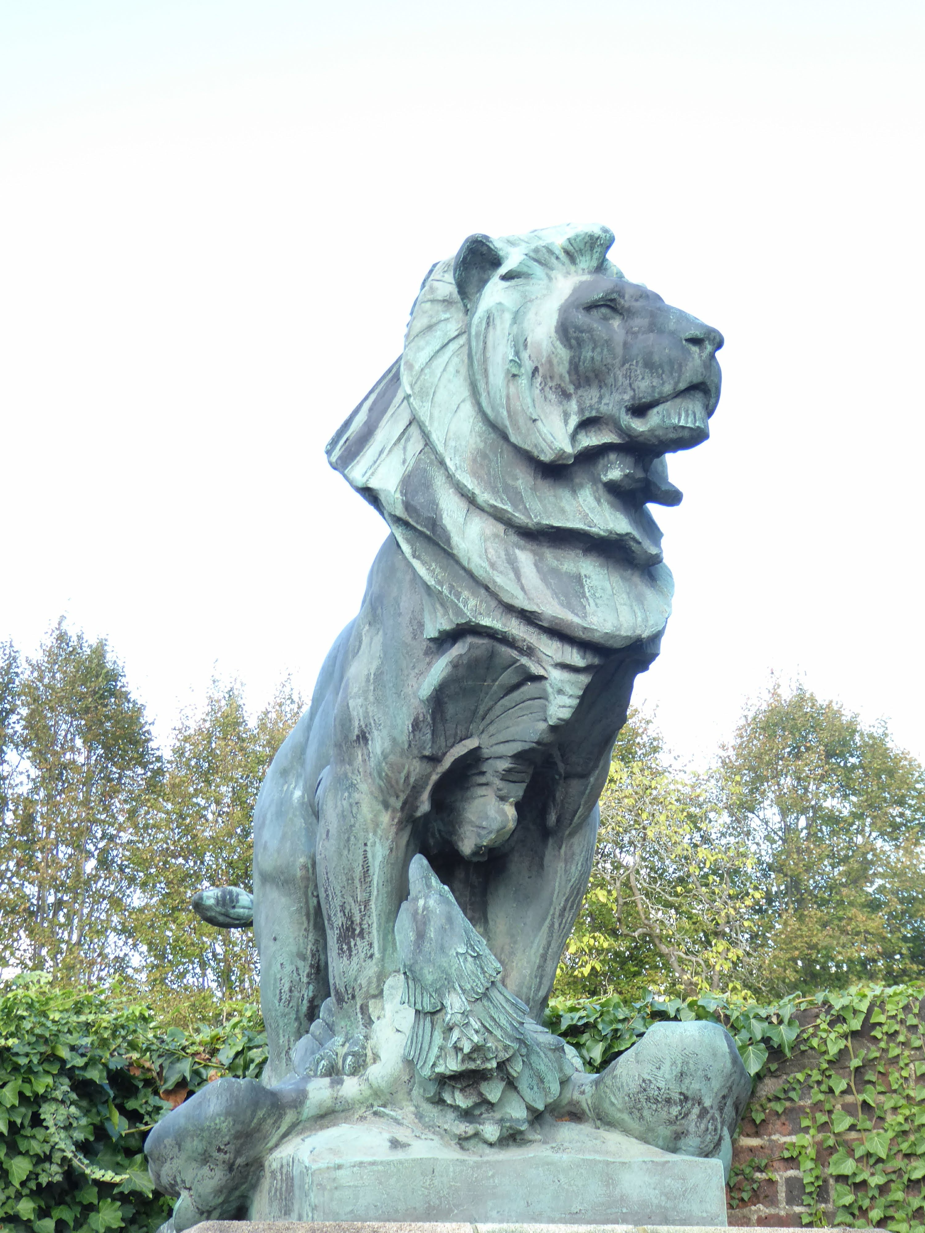
Next to the club house is the Memorial Hall which was opened in 1922 to commemorate the fallen in The Great War.
Across the road is Chorleywood Common. Up until WW2 the Common was extensively grazed by livestock belonging to the Commoners. This meant that grassland and heathland were the dominant habitats with only a few trees. Since the grazing ceased the woodland has developed and covered a large proportion of the Common.
Management of the Common has seen the reintroduction of grazing for conservation purposes and in selected areas, woodland and scrub encroachment is heavily controlled to ensure the remaining grassland and heathland is protected and to restore the open landscape. So if this was the summertime I would see a small herd of cows grazing on the Common.
I continued on and beside this row of houses was a narrow lane with houses dated around the 1870s.
This lane led me back under the railway and onto a wide tree lined road with a number of small shops.
Sadly, at least three of them were empty. A sign of the times since Covid.
There was a lovely bookshop and a couple of cafes which I will probably visit on my way back.
I walked out of the village and up Shire Lane and came across an unusual building for a catholic church. This was one of the houses built to encourage city workers to move out into Metroland. First constructed in 1898, it was then extended for the artist Alfred Elias and his wife in 1904. The extension was carried out by a well known British architect, Charles Voysey. The main parish church was a long way from here and initially mass was held in a parishioner's home. Money was raised and a house bought which was converted into this church.
Just an ordinary post box you might think but on closer inspection this is a first for me.

On the front is the Royal cypher of Edward VIII. Edward abdicated after 10 months so very few post boxes were erected with his name on them. There are fewer than 200 in existence throughout the UK, so was thrilled to have found one at last.
Walking away from the village was not so easy as there were no pavements and a fair bit of traffic. However, the weather was pleasant and I was now out in the country with views of fields.
I passed an interestingly named pub.

The name relates to the chartist movement that demanded, amongst other things, the vote for working men at a time when only property owners could take part in parliamentary elections. In the 1840s a short lived chartist community was set up in this area. I discovered this when I met the volunteers at the Rickmansworth Museum that I mentioned in my previous post. It is the main reason that I have left the village of Chorleywood, as I am looking for any evidence of that community in a small area called Heronsgate. This pub was once the beer house attached to the community.

A lane leading to Heronsgate was signed off to the right just a short distance from the pub. It was originally known as O'Connorville named after a radical MP, Feargus O'Connor. He founded the Chartist Land Company in 1845 which soon had 70,000 shareholders and capital of £4000. He purchased land here and divided it into 36 lots of between two and five acres where families from urban slums could raise livestock, grow fruit and veg and become self sufficient. This was the first time houses had been built for the working classes other than by an employer to accommodate his workers. The scheme was widely advertised and attracted many applicants mostly from the industrial north. Applicants were chosen by a ballot. The rent would be 5% of the total cost of the estate and each settler would receive £87 per acre for tools, seed etc. By buying their own properties this would give the settlers the right to vote as well as the means to support themselves and their families by farming the land attached to their properties. The idea was excellent but the reality was not. Urban workers had no idea had to farm the land and they did not really have enough land to live off. Many found it too hard and couldn't adjust to life in a rural setting with many returning to the industrial north. The Chartist Land Company survived just 6 years with the estate being sold in 1857. O'Connor was admitted to an asylum in Chiswick for a couple of years but died a year after his release.

The village of Heronsgate retains much of the original layout with its narrow lanes named after northern towns such as Bradford, Halifax, Nottingham etc. The village now has Conservation area status due to its historic and architectural interest.

These are some of the chartist houses.
They are recognisable by the chartist sign below the roof.
Although it failed as a chartists settlement the area now known as Heronsgate is very much a community. This is the community church probably built as a school/chapel.
It is a small, beautiful church.
I returned the way I had come and was hoping to stop in the 'Land of Liberty, Peace and Plenty' pub for some lunch but it hadn't yet opened. Luckily for me there was another pub not too far away, 'The Stag' which was open. As it was a weekend the sandwich menu wasn't available only their full meal menu. As it was a bit early for their lunch time rush, the very helpful waitress asked the kitchen if they would make me a sandwich which they did.
This delicious ham and cheese sandwich was delivered to my table. It isn't often you get that kind of service in and around London. It made a very good end to my visit to Chorleywood. Refreshed by the food I walked back to the station which was downhill, giving me a good view of the village in the valley on the way.
Once back at the station I had another look around for the labyrinth. There it was on the wall of the small waiting room. Number 4/270. I'm getting ever closer to number 1.


.jpg)