This is the 25th out of 27 stations on the Jubilee Line that I've visited. It was opened in 1934 by the Metropolitan railway. As with the other stations on this Stanmore branch, in 1939 it was transferred to the Bakerloo Line and then to the Jubilee line in 1979. The name of the station has no significance other than a public vote to match it to the previous station of Kingsbury.
Only Jubilee line trains come through the station and there are just the two platforms.
The station exit is in the middle of a small shopping parade. The Underground signs to the right and left of the station have the large U and D on the sign. These signs first appeared on promotional material from 1908 when the various different underground railway companies agreed to use the word 'UndergrounD' for all joint promotions.
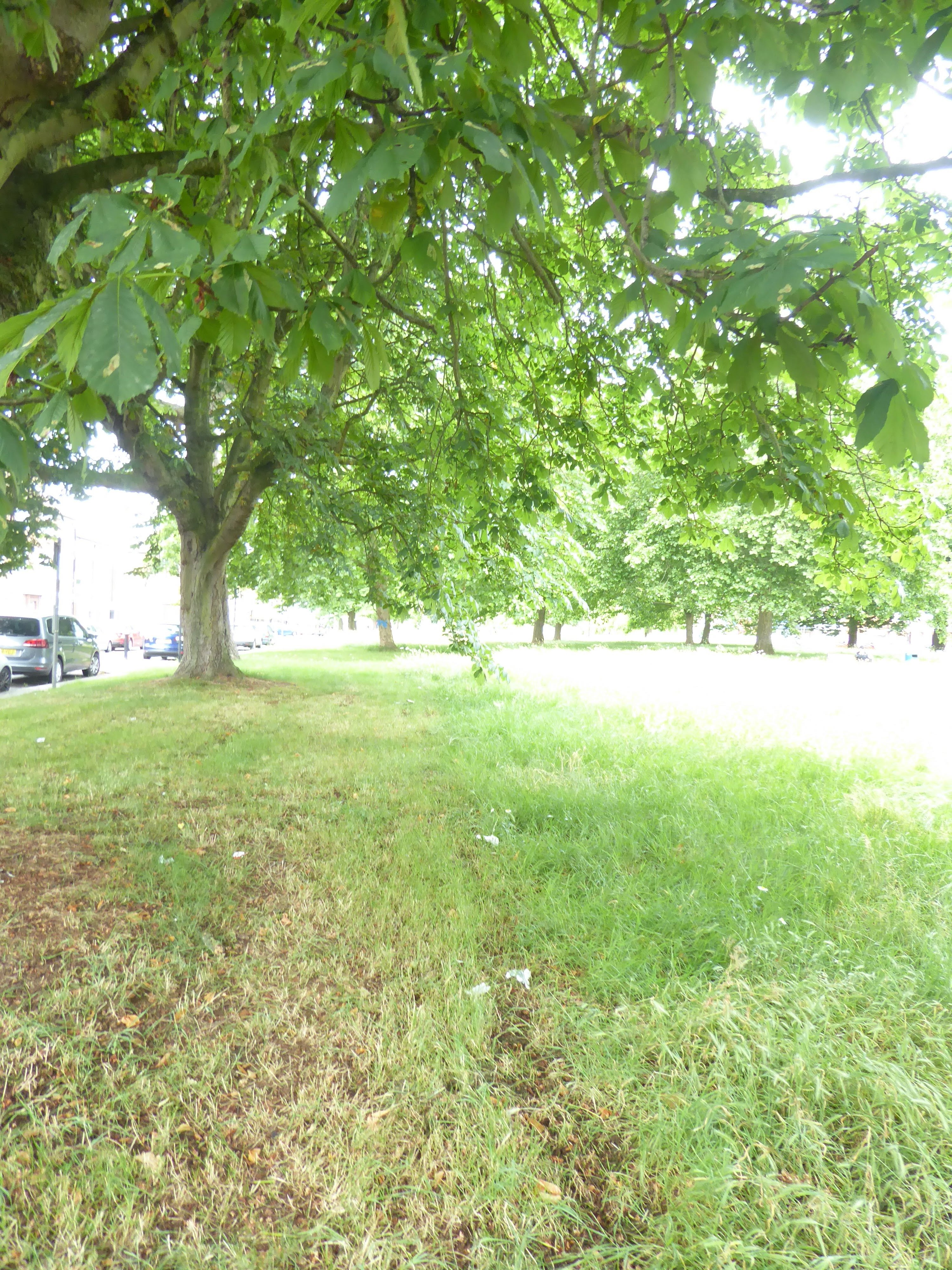
Across the road from the station is a public green space developed in the 1930s as was the rest of this area. The roundel with the mast and shelter is an attractive feature. I read that this might be a Charles Holden design but I can't verify that although it is similar to masts and roundels decorating some of the stations he designed.
Another small parade of shops run alongside the Green.
It didn't take me long to look around Queensbury. The station is only 1.3km or 0.8ml from the previous station so I am only looking at a small area that I've not visited. It is mainly made up of wide, tree lined, residential roads and roundabouts.

After a couple more residential roads and roundabouts I came to a wide road with lots of shops, Mollison Way which looked a little more interesting but not much.
This Tesco Express store used to be the Flying Eagle Pub. Not sure when it closed down but you can still see signs of its heritage.

Walking along the road I came across a number of these Heritage Trail information boards.
In 1916 the area was part of Burnt Oak farm before being sold to the London and Provincial Aviation company which built a flying school here. Geoffrey de Havilland learnt to fly here and four years later he leased the site and established his aircraft company here at Stag Lane. The first Gipsy Moths and Tiger Moths were developed and built at Stag Lane.
The road is named after the test pilot Jim Mollison. Jim was the husband of pilot Amy Johnson who learnt to fly at Stag Lane aerodrome and went on to break many aviation distance records in the 1930s including the first woman to fly solo from Britain to Australia. She piloted a de Havilland Gipsy Moth from Croydon to Darwin. The aircraft is now on display at the London Science Museum.
In 1933 the company moved to a larger site in Hatfield, Hertfordshire and the disused aviation factory site was used for the new housing estate of Queensbury. Although not a particularly interesting place to visit I found its history fascinating.